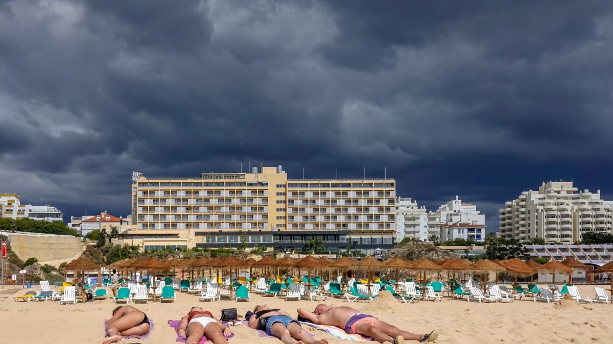
Periods of rain or showers are expected until Saturday, sometimes heavy and accompanied by thunderstorms, especially on Friday, explains the Portuguese Institute of the Sea and Atmosphere (IPMA), adding that the depression will position itself at the end of today to the west of the Iberian Peninsula, moving slowly to the north.
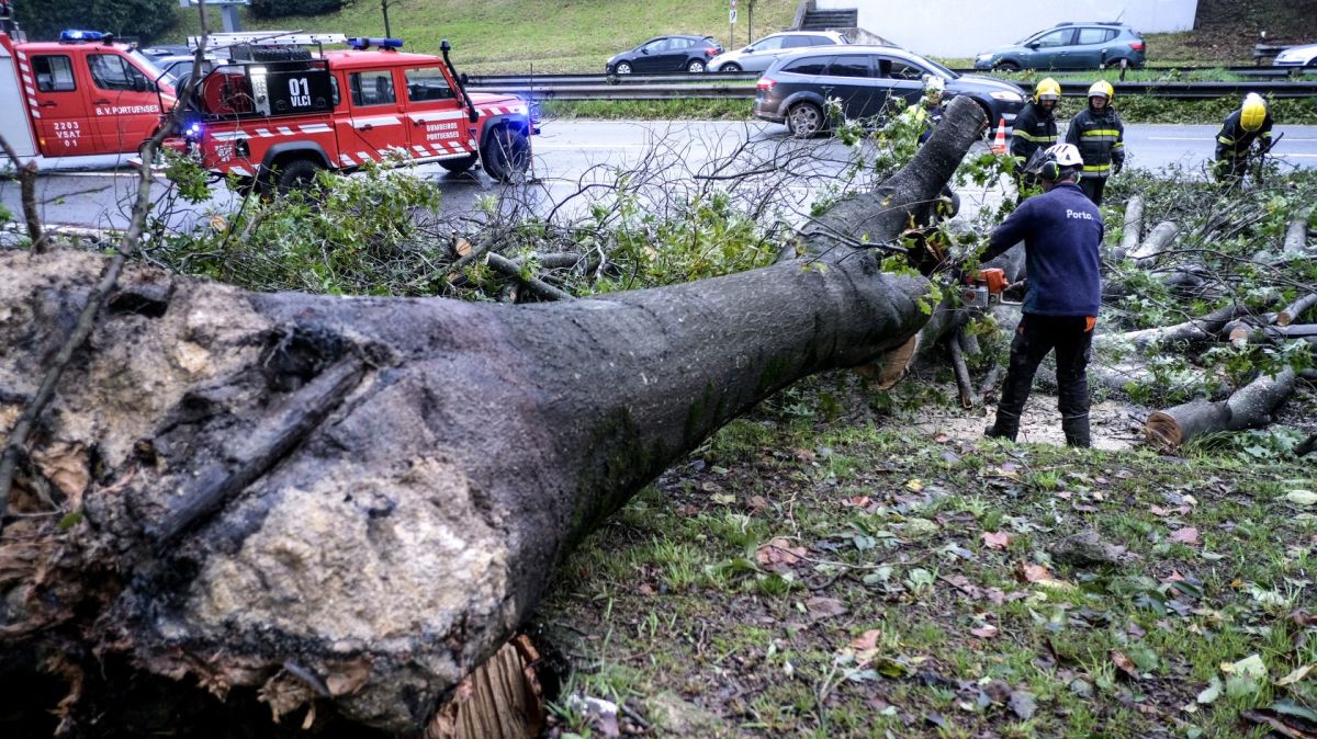
Weak to moderate southerly winds are also forecast, intensifying to moderate to strong on the coast and in the highlands, with gusts of up to 70 kilometres per hour (km/h) from the end of today, and snowfall at the highest points of Serra da Estrela, and strong sea agitation.
This situation led the IPMA to issue a yellow warning of strong winds from the south/southeast, with gusts of up to 80 km/h, especially on the coast, for the districts of Faro, Setúbal, Lisbon, Leiria, Beja, and Coimbra between 9 pm today and 3 pm on Friday.
The IPMA also placed the 18 districts on the mainland between 12pm and 6pm on Friday because of the sometimes heavy rain accompanied by thunderstorms.
Also, the districts of Setúbal, Lisbon, Leiria and Beja will be affected between 9 am and 9 pm today and Faro until 9 pm on Friday due to the forecast of strong sea agitation, with southwest waves of 4 to 4.5 metres.
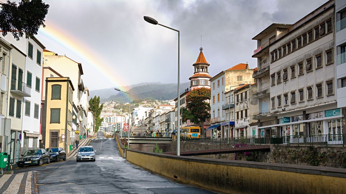
The Madeira archipelago will also be affected by the passage of depression Núria, a yellow warning for wind with gusts that could reach 120 km/h in mountainous regions until midnight on Friday.
The rest of the archipelago will remain under a yellow warning until 6 am on Friday, particularly due to precipitation, wind and rough seas.